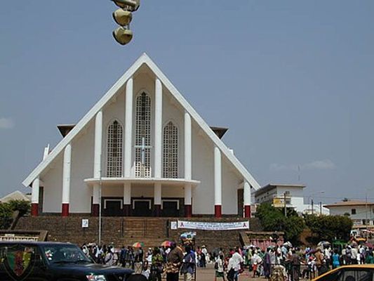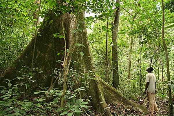
From Wikipedia: Equatorial Guinea is a small country in West Africa, divided into two parts, the mainland and the islands. The mainland is wedged between Cameroon and Gabon. Unique among sub-Saharan countries, it was a Spanish colony, whose only other African colony was Western Sahara. It is one of the largest oil producers in Sub-Sahara, behind Angola and Nigeria.
find another country
Malabo
Average temperatures
Jan
31.1°C23Precipitation: 28.9 mm
Feb
31.8°C23.9Precipitation: 70.6 mm
Mar
31.3°C24.1Precipitation: 102.7 mm
Apr
31.3°C23.8Precipitation: 155.7 mm
May
30.5°C23.5Precipitation: 227.1 mm
Jun
29.5°C23.3Precipitation: 260.8 mm
Jul
28.4°C23.2Precipitation: 202 mm
Aug
28°C23.1Precipitation: 177.1 mm
Sep
28.1°C22.8Precipitation: 250.1 mm
Oct
28.8°C22.9Precipitation: 254.3 mm
Nov
29.8°C23Precipitation: 100.3 mm
Dec
30.8°C22.7Precipitation: 39.6 mm

Bata
Average temperatures
Jan
30.5°C20.7Precipitation: 116 mm
Feb
31.1°C20.4Precipitation: 102 mm
Mar
31.3°C20.1Precipitation: 205 mm
Apr
31°C20.1Precipitation: 292 mm
May
30.7°C20.6Precipitation: 285 mm
Jun
29.7°C20.2Precipitation: 90 mm
Jul
28.8°C19.4Precipitation: 25 mm
Aug
28.9°C19.6Precipitation: 26 mm
Sep
29.1°C20Precipitation: 221 mm
Oct
29.1°C20.5Precipitation: 457 mm
Nov
29.6°C20.8Precipitation: 306 mm
Dec
30.1°C20Precipitation: 109 mm

Acalayong
No climate information available.

Evinayong
No climate information available.

Mbini
No climate information available.

Mongomo
No climate information available.

Monte Alén National Park
No climate information available.

Ebibeyin
No climate information available.


